You Worked for Niantic for Free: Pokémon GO Players Trained AI for Robots
The company accumulated 30 billion urban images through optional player scans and is already using them to guide delivery robots from Coco Robotics.
 Staff Donotaku Published:
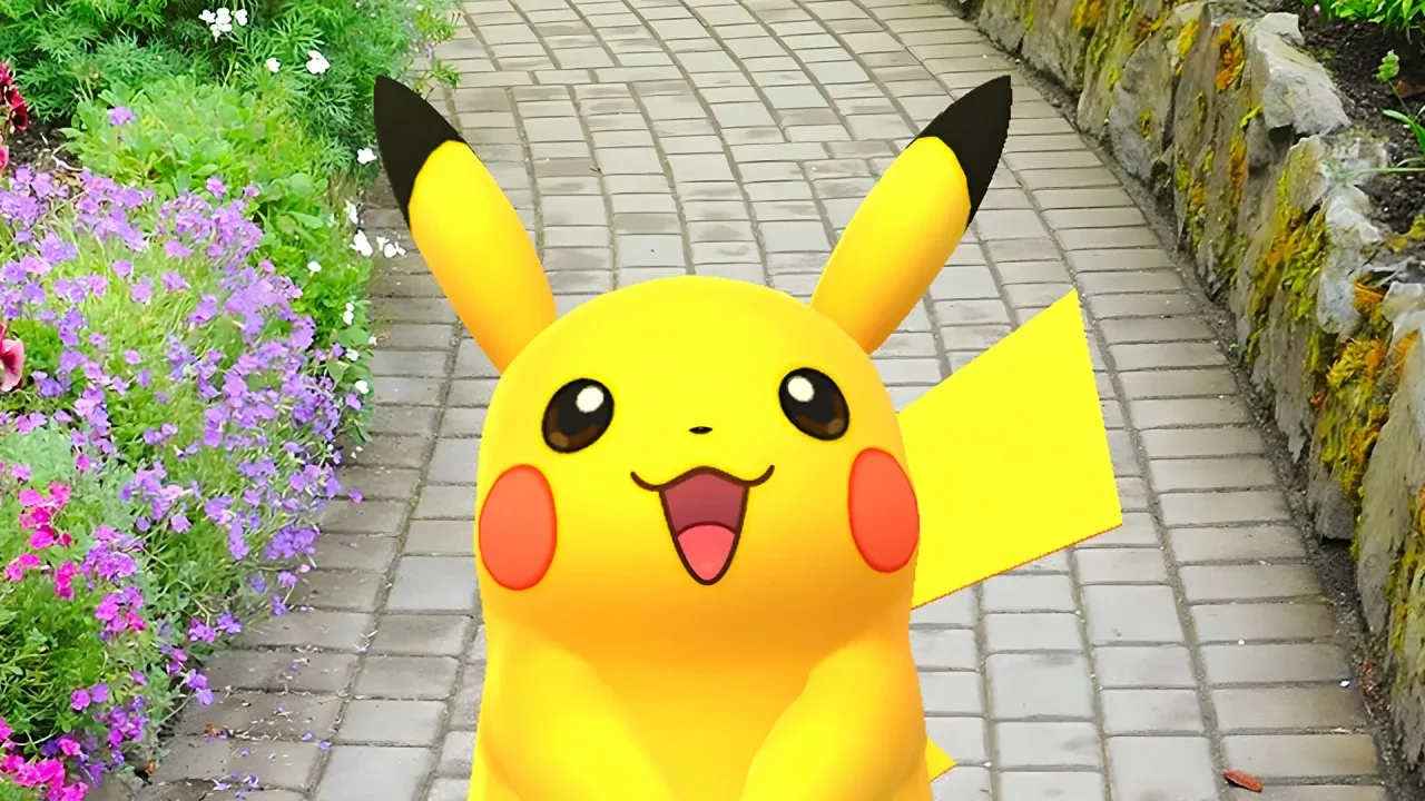 Image from the original Anitsu edition.
Giving topographical data to multinational corporations is the standard price for capturing electric mice on public streets. Tech reports confirmed that the popular augmented reality video game developed by Niantic, Pokémon GO, served as a tool for training artificial intelligence. Millions of users accidentally built one of the largest real-world image archives in history to guide commercial robots.
30 Billion Photographs
The collection mechanic was a simple digital bribe. The app offered virtual rewards to players who agreed to scan parks, monuments, and streets using their phone cameras. This side task generated a monstrous database: the company accumulated more than 30 billion street-level images. All this visual material built the core of a visual positioning system, a technology capable of locating a machine in the real world through photographs.
Delivery Robots with a Trainer's Soul
The company's independent technology division, formally named Niantic Spatial in 2025, has already begun profiting from this global map. The team closed a strategic alliance with manufacturer Coco Robotics. Their suitcase-shaped delivery robots now use the developer's Visual Positioning System to navigate sidewalks. The machine's cameras compare their surroundings in real time with photos previously taken by users, overcoming the traditional limitations of GPS signals in dense cities.
The Business of Pedestrian Surveillance
Company executives defended this business model by clarifying that the photographs come exclusively from optional scans and not from daily gameplay. The AR scanning feature unlocks at level 20 and requires the player to actively choose to participate. However, the level of street detail captured by gamers on foot far exceeds cameras mounted on satellite mapping vehicles. The company plans to expand this technology to guide future physical devices and advanced mixed reality applications using this cartographic archive.
Considering the amount of exact geographic information you gave the company in exchange for a couple of virtual potions, will you keep scanning your neighborhood to complete the app's daily missions?
Originally published on Anitsu by Eduardo Casanova. Text reviewed and cross-checked for DonOtaku on November 5, 2026; the original date is preserved.
0 comments
Sign in to leave a comment
Tell everyone what you think about this story.
No comments yet. Be the first.
Keep reading

Bleach Mirrors High arrives free on iOS and Android tomorrow with a story by Tite Kubo
Mariana García · 27 October 2026

Cyberpunk 2077 hits 3-year player peak thanks to Edgerunners 2
Laura Martínez · 23 October 2026

The Elusive Samurai anime returns to Eiketsu Taisen with a reissue of its collaboration
Laura Martínez · 22 October 2026